
Finding your way through unfamiliar streets or remote countryside has never been easier, thanks to the range of GPS applications now available for Android smartphones. Whether you're navigating a busy city centre or planning a countryside walk, choosing the right app can make all the difference to your journey. This article explores the most popular navigation tools on the market, examining their features, internet requirements, and how to get started with each one.
What to know
- Android users can choose from various navigation apps, with Google Maps and Waze excelling in real-time traffic updates for urban environments.
- Apps like HERE WeGo and Sygic are better suited for travelers as they allow users to download detailed maps for offline use without needing a constant internet connection.
- While smartphone GPS chips function via satellites even without mobile data, many advanced app features depend on a steady internet connection to provide live rerouting.
- It is recommended to carry traditional paper maps and a compass as a reliable backup when venturing into remote areas where phone signals are absent or batteries may fail.
- Users can easily install navigation tools through the Google Play Store and should optimize settings like voice guidance and offline map downloads before departing.
- For demanding outdoor activities, specialized rugged smartphones offer increased durability against extreme temperatures, moisture, and shocks compared to standard devices.
Popular GPS Applications for Android: Features and Functionality
When it comes to navigation apps for Android smartphones, a handful of names consistently rise to the top. Each offers something slightly different, so understanding their strengths can help you pick the one that suits your needs, whether that's daily commuting, road trips, or venturing into the hills.
Google Maps and Waze: Real-Time Navigation with Online Connectivity
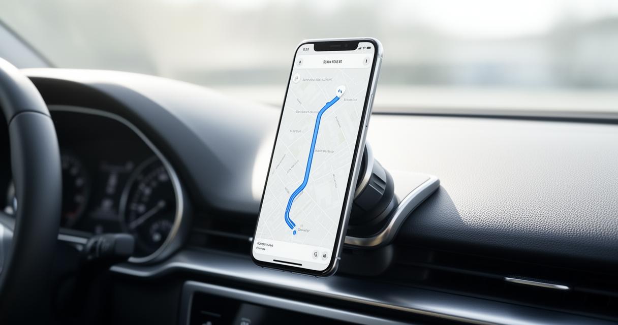
Google Maps remains the go-to choice for many, offering turn-by-turn directions, live traffic updates, and detailed information on nearby amenities. Its integration with search results makes it simple to find petrol stations, restaurants, or car parks along your route. Waze, meanwhile, takes a more community-driven approach, relying on real-time reports from other drivers to flag hazards, speed traps, and roadworks. Both apps lean heavily on constant data connectivity to deliver their most useful features, making them ideal for urban driving where signal is rarely an issue.
HERE WeGo and Sygic: Offline Mapping Solutions for Travellers
For those heading somewhere with patchy signal, HERE WeGo and Sygic offer a welcome alternative. Both allow users to download detailed maps in advance, meaning navigation continues to function even without a network connection. This makes them particularly popular among travellers exploring abroad or hikers venturing into the hills, where relying solely on an internet connection simply isn't practical. Sygic, in particular, has built a reputation among outdoor enthusiasts for its detailed offline mapping and voice-guided directions.
Understanding internet requirements: online versus offline navigation
One of the most important considerations when choosing a GPS app is whether it needs an active internet connection to function properly. This distinction becomes especially relevant for anyone planning to use their smartphones for navigation in the hills, where mobile signal can be unreliable or entirely absent.
Which gps apps require constant internet connection
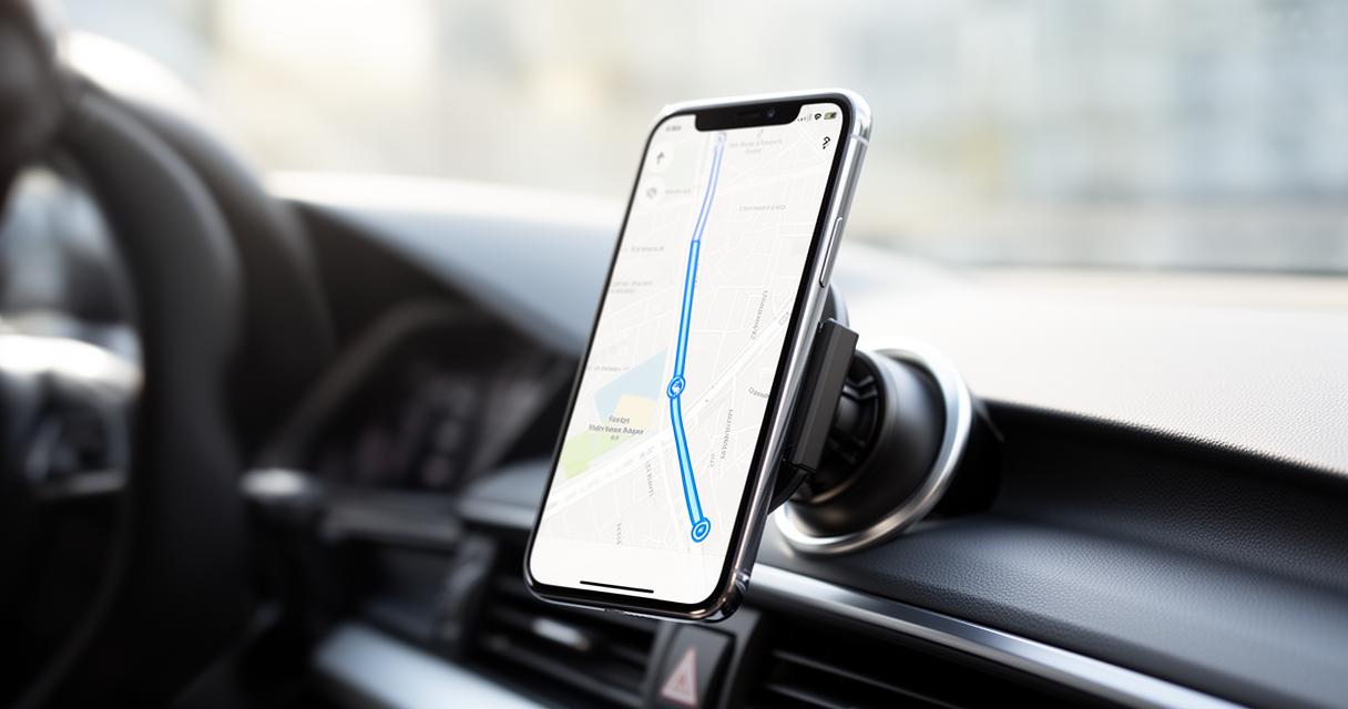
Apps like Google Maps and Waze depend on a steady data connection to pull live traffic information, update maps, and provide accurate rerouting. Without signal, their functionality becomes severely limited, and in some cases they simply won't load new information at all. It's worth noting, however, that even without a signal, your phone's GPS chip can still determine your location, since GPS relies on satellite signals rather than mobile data. This is a common myth worth dispelling, smartphones don't necessarily stop working without a signal, but the richer features of many apps do become unavailable.
Downloading maps for offline use: staying connected without data
Thankfully, most major navigation apps now offer some form of offline map downloading, allowing users to pre-load an area before setting off. This is particularly useful for hiking, where battery life and signal are both precious commodities. That said, smartphones shouldn't be the only tool relied upon when heading into remote terrain. Carrying a traditional map and compass as a backup remains sound advice, and map reading skills are just as valuable when interpreting digital maps as they are with printed ones. Cold temperatures can also cause smartphones to fail unexpectedly, so having a backup option, whether that's a second phone or good old-fashioned paper maps, is always a sensible precaution.
Getting started: downloading and setting up your gps application
Once you've settled on the right app for your needs, getting up and running takes only a few minutes. The Google Play Store makes the process straightforward, even for those who aren't particularly tech-savvy.
Accessing gps apps through the google play store
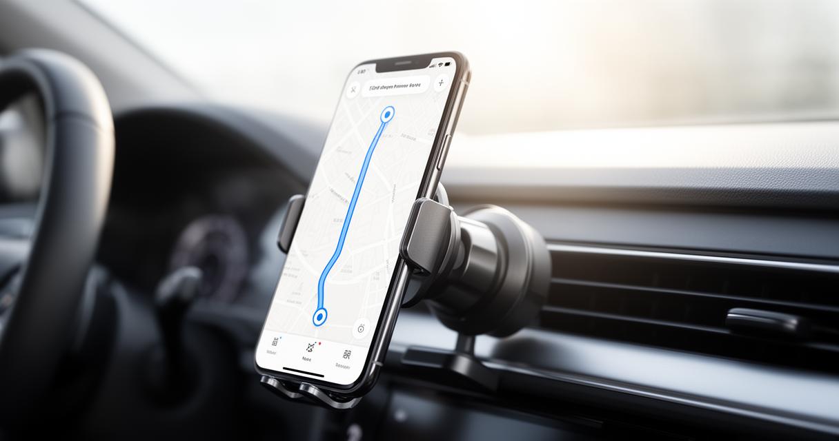
Simply open the Play Store on your Android device, search for the app by name, and tap install. Most navigation apps are free to download, though some offer premium features or ad-free experiences for a small fee. Once installed, you'll typically be prompted to grant location permissions, which is essential for the app to function correctly.
Optimising your navigation experience: tips for first-time users
Before setting off, it's worth downloading offline maps for your intended route, particularly if you're heading somewhere remote. Adjusting settings such as voice guidance, map orientation, and unit preferences can also make a noticeable difference to usability. If you're planning outdoor adventures, it might be worth considering a rugged smartphone designed to withstand tougher conditions. Devices such as the Land Rover Explore R, the Motorola Defy, and the Samsung Galaxy XCover Pro have all been built with durability in mind, capable of surviving knocks, moisture, and extreme temperatures that would leave standard smartphones struggling. The Land Rover Explore R, for instance, weighs a modest 225 grams and can operate in temperatures ranging from minus thirty degrees Celsius to sixty-five degrees Celsius, whilst the Samsung Galaxy XCover Pro boasts a replaceable battery, a genuinely useful feature for longer expeditions where charging opportunities are scarce. The Motorola Defy, with its generous battery capacity, also performs admirably across varied weather conditions. Though these rugged devices tend to have decent rather than exceptional cameras and can feel a touch slower than flagship models, their durability and battery capacity make them well suited to outdoor conditions where reliability matters more than raw performance. Whatever device you choose, remember that even the best GPS app is only as good as your understanding of the terrain, so keeping those map reading skills sharp will always serve you well.